NSW Faces Heavy Rains and Flash Flooding
Residents on the east coast of New South Wales (NSW) are being warned to be prepared for flash flooding as the state continues to be hit by heavy rains. On Thursday night, Sydney experienced wild weather with heavy rain, thunder, and lightning.
Lightning Strike Hits Sydney
A dramatic “five-in-one” lightning strike occurred at 8pm, with two lightning bolts seemingly striking the iconic Harbour Bridge. The NSW State Emergency Service (SES) received 447 calls for assistance, including 49 flood rescues, due to flash flooding across the South Coast, Illawarra, and Sydney Metropolitan regions.
Warragamba Dam Begins Spilling
WaterNSW confirmed that Warragamba Dam started spilling at 4.20 am on Friday, adding to the already heavy rainfall situation in the area.
The dedicated volunteers of the NSW SES have been working tirelessly throughout the night in challenging conditions to aid flood rescue efforts. Assistant Commissioner Dallas Burnes emphasized the importance of avoiding non-essential travel during this time, as several roads may be affected by flash flooding. Motorists should stay updated via live traffic information and find alternative routes if encountering flooded roads.
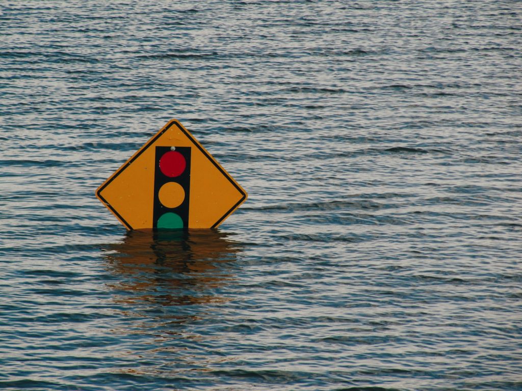
Severe Weather Warning and Safety Precautions
A severe weather warning remains in place for heavy rainfall, which could potentially lead to flash flooding in the Illawarra, South Coast, Metropolitan Sydney, and Southern Tablelands districts.
Assistant Commissioner Burnes urged residents to stay alert and stay updated with the latest warnings, emphasizing that the weather conditions can change rapidly. Setting up a watch zone in Hazards Near Me is the fastest and simplest way to understand the risk of severe weather and flooding.
Flood Warnings and Areas Affected
Flood warnings are in place for several regions, including Picton, Shoalhaven, Wollondilly, and the Hawkesbury Nepean. The south coast of NSW could experience isolated falls of up to 130mm.
From Thursday 9 am to Friday 5 am, Cringila received 206mm of rain, Port Kembla had 197mm, and Wollongong experienced drenchings of 146mm. The NSW SES Wollongong Unit responded to 27 rescues and 110 other incidents between Thursday 8 am and Friday 1 am.
Weather Forecast and River Monitoring
A weakening trough will continue to bring rain to the Illawarra and South Coast regions throughout Friday, with conditions expected to ease in the evening. Minor to moderate flood warnings are active at Menangle Bridge, Penrith, North Richmond, and Windsor. Authorities are closely monitoring the Hawkesbury and Nepean Rivers as heavy rainfall persists. The Bureau of Meteorology reports that the Hawkesbury Nepean Valley received up to 147mm of rain in the 24 hours leading up to 5 am on Friday.
Menangle in NSW’s Macarthur region is under a ‘Watch and Act’ notice, with floodwaters at Menangle Bridge projected to reach 9.2m on Friday morning and 10m by midday. Low-lying homes in Picton’s CBD and Stone Quarry Creek have also been advised to prepare for potential evacuations.
Possible Flooding and Driving Precautions
Parts of Penrith in Sydney’s west may experience minor flooding from midday, with the Nepean River expected to reach 3.9m. The Cooks River at Tempe Bridge in the city’s south could also face minor flooding due to high evening tides on Friday. The suburb of Windsor and its surrounding areas should be prepared for rising water levels, as the Hawkesbury River is forecasted to reach minor flood levels (5.8m) on Friday night and moderate flood levels (7m) by Saturday morning.
The Bureau has issued a warning for drivers in Sydney’s southern suburbs, highlighting the potential danger of flooded roads and reduced visibility. Motorists are advised to exercise extreme caution ahead of the long weekend. However, a better forecast is expected to clear the rain by Saturday and Sunday.